|
|
|
| Maps > North America > Canada |
Historic and contemporary maps of Canada including physical and political maps of provinces and territories, early exploration and settlement, climate, vegetation, battle plans, geomorphic, and automobile route maps.
|
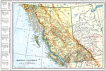
British Columbia,
1914 |
|
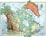
Dominion of Canada, Newfoundland, and Greenland,
1916 |
|
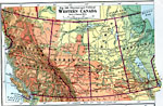
Western Canada,
1916 |
|
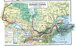
Eastern Canada,
1916 |
|
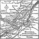
Montreal and Vicinity,
1919 |
|
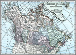
The Dominion of Canada,
1919 |
|
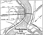
Fredericton, New Brunswick,
1919 |
|
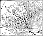
Montreal,
1919 |
|
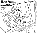
Three Rivers,
1919 |
|
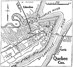
City of Quebec,
1919 |
| First | Previous | Next | Last |
| Maps > North America > Canada |
Maps ETC is a part of the Educational Technology Clearinghouse
Produced by the Florida Center for Instructional Technology © 2009
College of Education, University of South Florida