| Maps > Europe > A Complete Map of Europe |
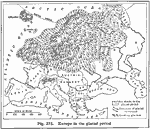 |
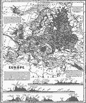
Europe During the Glacial Period, Glacial Period A map of Europe in the glacial period. |
 |
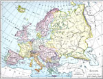
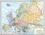
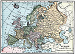
Europe, Map of Europe. |
 |
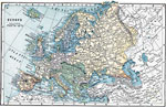
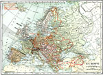
Europe, Map showing Europe. |
 |
Europe During Napoleon's Campaigns, Napoleonic Wars A map of Europe during the time of the Napoleonic Wars. |
 |
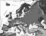
Europe (Physical), Map showing physical features of Europe. |
 |
Europe During the Crusades, 1095–1270 |
 |
Europe in the 16th Century, The Sixteenth Century A map of Europe in the 16th century. |
 |
Division of Europe as to War with England, 1778-1782 A map showing the division of Europe as to War with England, 1778 to 1782. |
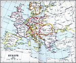 |
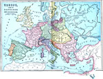
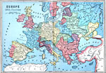
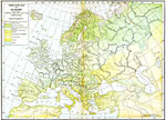
Europe, 1815 |
 |
Europe in 1871, 1871 A map showing the boundaries of Europe as they were in 1871. |
 |
Europe, 1885 Europe, showing major mountain ranges. |
 |
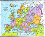
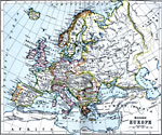
Europe, 1899 Map of Europe in color. |
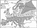 |
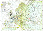
Vegetation Map of Europe, 1901 Map of vegetation in Europe. |
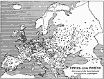 |
Cities and Towns of Europe, 1901 Map of cities and towns in Europe. |
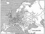 |
Map of Railroads in Europe, 1901 Map of Railroads in Europe. |
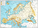 |
Europe (Physical), 1901 Map showing land elevation throughout Europe. |
 |
Density of Population in Europe, 1901 Map showing density of population in Europe. |
 |
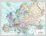
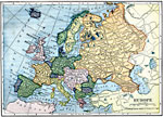
Europe, 1901 Map of Europe. |
 |
Map of Europe, 1903 A map of Europe, as it was in 1903. |
 |
Europe, 1909 Map of Europe. |
 |
Modern Europe, 1910 |
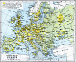 |
Economic Map of Europe, 1910 Map shows chief industries and principal railways throughout Europe. |
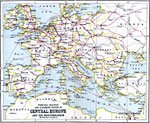 |
Principal Railway and Steamship Routes in Central Europe and the Meditteranean, 1910 Map shows principal railways and steamship routes throughout Central Europe and the Meditteranean Sea. |
 |
Europe in 1910, 1910 A map of the political boundaries in Europe as they existed in 1910. |
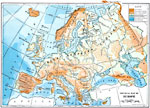 |
Physical Map of Europe, 1910 A physical map of Europe. |
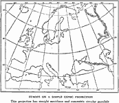 |
Europe On Conic Projection, 1915 Europe on a conic projection. |
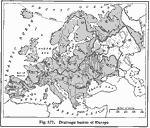 |
Drainage Basins of Europe, 1916 A map showing the drainage basins of Europe. |
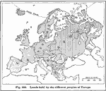 |
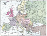
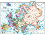
Ethnic Groups of Europe, 1916 A 1916 map showing the lands held by the different peoples of Europe. |
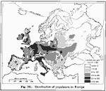 |
European Population Density, 1916, 1916 A 1916 map showing the distribution of population in Europe. |
 |
Economic Map of Europe, 1916 A map of Europe showing areas of production and non-production, and areas of industry and agriculture. |
 |
Vegetation Map of Europe, 1916 A map of Europe showing areas of different types of natural vegatation. |
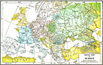 |
Racial Map of Europe, 1916 A map of Europe showing the distribution of ethnic groups. |
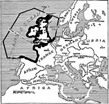 |
Barred and Safety Zones, 1917 A map showing the "barred zones" and "saftey lanes" outlined in Germany's note. |
 |
Europe, 1919 A map of Europe in 1919, showing cities and railway routes. |
 |
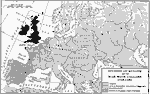
Europe, Post WWI, 1920 Europe in the Post-WWI period. |
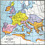 |
Europe at the Death of Justinian, 565 |
| Maps > Europe > A Complete Map of Europe |
Maps is a part of the Educational Technology Clearinghouse
Produced by the Florida Center for Instructional Technology © 2007
College of Education, University of South Florida